
Sources for a Grant County Block Search
A block search in Grant County pairs map geometry with owner records. The Viewer offers a Search by Geometry tool and a Set Buffer Size control. A street-name query works too. It can list every parcel along a road segment. The assessor result gives one owner field per parcel, while plats reveal lot order and shared roads, so each source adds a different view. Write down each parcel ID first.
| Source | What It Shows About a Block | Access |
|---|---|---|
| State Property Viewer | Nearby parcel IDs, names, addresses, selected layers | Search by geometry or buffer |
| Assessment search | Owner and mailing address by parcel | Street, owner, or map fields |
| Clerk plat books | Lot order, streets, and recorded changes | County Clerk record request |
| County road index | Official road and district/map clues | 2019 PDF and Mapping office |
The tax roll names an owner of record, not the person living there. A mailing address can sit far from the block. Keep the subject parcel distinct from every adjacent lot. One street may cross several map districts or a municipal line.
The state parcel viewer provides the map and geometry search.
Copy each nearby parcel ID from the map first.
Grant County Geometry Search Finds Nearby Parcels
The state Viewer supports a Search by Geometry tool with a Set Buffer Size control. Latitude and longitude coordinates also work as a starting point. Buffer units are not displayed, and some options stay hidden until you dig in. A practical sequence works like this: locate your subject parcel, draw a buffer around it, and open every nearby shape the query returns. Each parcel record shows a GIS ID, an owner name, and a physical address. Be aware the state result list caps out at 1,000 rows.
Grant County also runs its own ArcGIS parcel service. That service returns up to 2,000 records. Its metadata describes the data as built for assessment and planning, not for legal boundaries or title work. The metadata carries a service date of “Updated 20260826,” but that date describes the dataset itself, so a recent deed may not appear yet. Treat a buffer of nearby shapes as a starting point. Confirm each owner of record against the assessment roll before drawing conclusions about who lives on the block.
For details, see the Grant County Interactive Parcel Map service description.
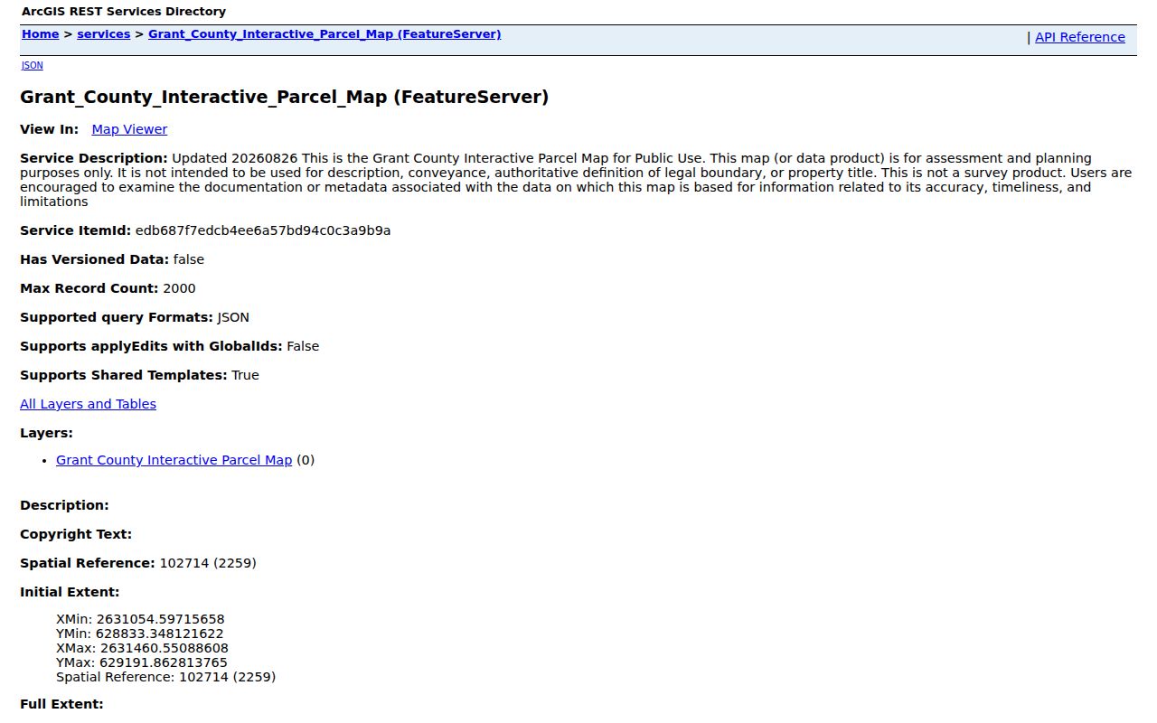
The layer helps you gather parcel candidates for a Grant County property search, but it settles no title or boundary question.
Pine Street Gives Two Grant County Results
Pine Street appears twice in the road index. One entry sits under Petersburg, the other under Bayard. Petersburg ties its streets to district 21 and map references such as 21, 21C, 21CC, and 21CD. Bayard's Pine Street uses map references 2 and 2CB. A second Pine Street in a block search is a signal, not an error. Keep the municipal label and address range handy. The Sheriff tax search lists Bayard, Grant, Milroy, Petersburg, and Union districts. A ZIP code alone cannot settle that question. Use the official road name, map reference, physical E-911 address, and deed description together as a set of clues.
Map Adjacent Grant County Parcels
Ask which parcels touch or sit near your subject. The Viewer's geometry search and buffer control answer that better than curiosity about who is present. A buffer returns candidate shapes around the subject. The unit options are not documented. Check each result separately in the assessment search, because a GIS list is not an ownership opinion.
- Locate the known address or parcel ID in the West Virginia Property Viewer.
- Use Search by Geometry or the buffer control to identify nearby shapes.
- Record each adjacent GIS ID, owner name, physical address, and map district.
- Check each parcel in the assessment search and confirm a relevant deed with the Clerk.
- Parcel ID
- The map and assessment key for a tract.
- Adjacent parcel
- A lot that touches or lies beside the subject on the map.
- Buffer
- A geometry search around a selected parcel; available units were not verified.
- Plat
- A recorded map that arranges lots and streets.
Grant County Plats Show Lot Order
A plat shows the order of lots along a block, shared road strips, and any changes from an amended subdivision map. The County Clerk holds the originals. Ask for replats, amendments, vacation instruments, and right-of-way plans. Grant County examples include Grandview Subdivision along Route 55/28 and Creitz Village, where a foreclosure notice named Lot 20 in Milroy District. Treat those names as search clues. They do not prove a current parcel match. Compare the plat's lot label and deed reference with the map shape and legal description. A street address can change while the recorded lot name stays stable. Only recorded documents or a survey resolve a boundary. For single-parcel map interpretation, see Grant County parcel maps.
Check Each Grant County Neighbor Separately
Never carry one owner's name down a whole street. The Viewer can list a single owner even when a parcel has several. Next-door tracts may sit under one person, an entity, or separate estate interests. That is why each nearby parcel deserves its own search. Pull every GIS ID into the assessment tool on its own. Then weigh the mailing address against the physical one. When the recorded holder matters, the deed settles it.
The assessor search takes Street Name, Owner Name, Full Parcel ID, District, Map, Parcel, Sub-Parcel, and legal description. Street Name is handy for assembling a list. Its results still need to be matched to the map, parcel by parcel. A tax ticket can add paid or unpaid context to the account. For the present name on a single parcel, see the Grant County current-owner record.
Grant County Blocks Can Cross Labels
Tax districts, municipal labels, road names, and ZIP codes do not line up neatly in Grant County. A Petersburg mailing address can serve an unincorporated parcel. A Bayard address can share a street name with Petersburg. Some parcels carry mailing addresses from somewhere else entirely. Use the road index and the district/map reference. They keep nearby parcels on the right side of a municipal or map boundary.
The county's road-name index gives official road ranges along with municipal or private-road labels. Mapping and Addressing assigns E-911 numbers and signs off on road names. A block may have a renamed road or a shaky address. That office can confirm the locator before you decide which adjacent tax-map shape matters.
No single county "neighbor list" settles a whole block. Build a working list from the map first. Then open every parcel separately in the assessment system. Compare the owner, mailing address, and district/map key. The roll can show just one owner while several people hold interests. It also describes the assessed account, not who lives at the property. A matching family name or a shared road proves nothing about common ownership.
Several parcels may look like one yard or farm. Check the deed and recorded plat for each ID. A split can leave an older tract description beside newer tax-map shapes. Remember that the county viewer serves assessment and planning, not legal boundaries. For a lot line or access strip with real consequences, the filed plat or instrument matters. Ask the County Clerk for it. Put a licensed surveyor on the ground to locate the line.
Keep local geography attached to every candidate. Bayard and Petersburg both have a Pine Street. The road index ties them to different map references. Petersburg's mailing ZIP 26847 and Bayard's 26707 are not municipal-boundary tests. A list built without those clues can fuse separate streets and unrelated parcels into one phantom neighborhood.
Lawful Limits on a Grant County Neighbor Lookup
A Grant County neighbor lookup only shows parcel and owner information from public records. It cannot establish who occupies a property. It cannot confirm an exact boundary, or prove an owner is reachable at the site. The statewide map exists for assessment and planning, not as a survey or title product. A boundary or shared-road question can carry practical consequences. Rely on a plat, deed, or survey instead.
Lawful use. Use a Grant County neighbor lookup for property diligence, civic research, and boundary questions. Do not use owner data to watch, threaten, or harass anyone.