
What Grant County Parcel Maps Put on Screen
The statewide Property Viewer layers parcel data over a basemap. It lets you search by parcel or address. Its detail panel can display the owner of record and the physical address. It also shows building information, cost values, and appraised values from the assessor's data. Flood layers, community labels, and delinquent status add context. So does a link to the full assessment report. Grant County also contributes one ArcGIS layer. It is named Grant County Interactive Parcel Map, built for assessment and planning use. Together these tools give a clear picture of each tract on the ground.
| Layer | What It Shows | Use |
|---|---|---|
| Parcel geometry and ID | Surface parcel shape and map key | Locate a tract |
| E-911 address | Physical address tied to SAMS | Match an address |
| Flood information | Effective and advisory flood areas | Check map context |
| Community / delinquent status | Selected parcel flags | Review an assessment result |
| Basemap and external links | Map background and map-service links | Orient the parcel |
Let the parcel shape orient your search first. Then carry its ID to the Assessor, Sheriff, or County Clerk. The flood layers and external map buttons add surrounding context. The assessment report rounds out the value fields. Still, a colored line does not reveal every easement, mineral estate, or survey monument. When lot layout or conveyed acreage is the real question, the recorded plat or deed is the next record to read.
Grant County GIS Parcel Service Has Limits
The county's ArcGIS layer carries the name Grant County Interactive Parcel Map. Its service metadata lists an update stamp reading 20260826 and a maximum record count of 2,000. It states its purpose as assessment and planning. The service is public. The county's own disclaimer says the data is not a conveyance, legal description, title product, or authoritative boundary. That update stamp describes the service, not the parcels. It does not promise that every attribute or deed transfer is current.
The statewide Viewer and the county ArcGIS service both work well for locating a surface parcel. Each can also collect its GIS ID. Neither should decide ownership or acreage when a recorded deed states something different. The state itself notes that the best-fit geometry rests on deeds and surveys. Read those source records when exact shape, a recorded road, or conveyed acreage matters. That step matters for any Grant County property search.
Inspect the Grant County ArcGIS parcel service metadata and disclaimer.
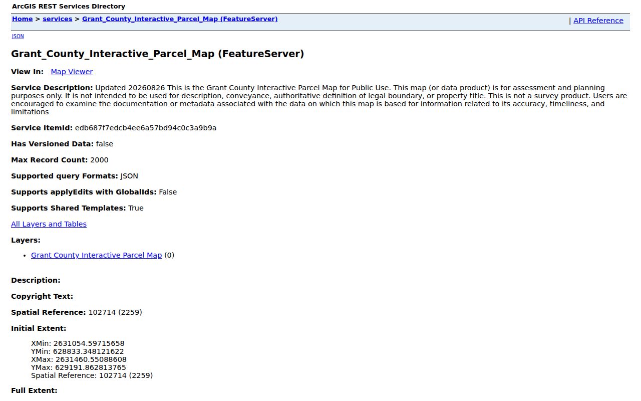
Note: The service record is a data source for orientation, never a substitute for a recorded plat or survey.
Grant County Parcel Maps Use Segmented IDs
West Virginia builds the full root GIS identifier from six hyphen-separated parts. These are county code, district code, map number, parcel prefix, parcel suffix, and special ID. The Viewer's GIS ID omits the special ID. The CAMA or IAS version drops the county code instead. Copy only the final segment. A Grant County parcel search can then fail or land on the wrong tract.
Grant tax searches offer five district choices: Bayard, Grant, Milroy, Petersburg, and Union. The county road index pairs road ranges with district and map sequences. Petersburg streets can carry 21, 21C, 21CC, or 21CD. Bayard road entries include map references 2 and 2CB. Those clues narrow a hunt. They are not a full parcel ID on their own.
Copy the whole identifier from the viewer and note which system supplied it. Then search the Assessor or Sheriff with the right district and parcel fields.
The statewide viewer also supports searches by geometry or coordinates. It offers highlighting and zooming to a result, flood context, and links to related map services. A search can return up to 1,000 rows. The county ArcGIS service lists a 2,000-record maximum. Trim a large result with the street, district, or full parcel key before comparing polygons. The state viewer exports CSV for search results and KMZ for mapped detail. Neither export changes the legal status of the deed or plat beneath it.
Find a Grant County Parcel on the Viewer
The statewide map accepts an E-911 street address or parcel attributes. It also takes a geometry, a buffer, or coordinates. Results cap at 1,000, and each row can show the GIS ID, owner, and address. Hover to highlight a shape. Click to zoom and open the detail. Parcel lines appear only at a close scale, around 1:18,056. The display is surface-only, so it may miss stacked floors, multiple cards, or mineral parcels.
- Search by physical E-911 address, owner, street, or parcel ID.
- Open the matching row and copy the GIS ID and physical address.
- Check the flood or community details and use the assessment report link if needed.
- Take the ID to the Assessor or Clerk for the related tax or deed record.
- Parcel number
- A tax and map key used to identify an assessment record.
- Plat
- A recorded map of lots, streets, or subdivision changes.
- Lot and block
- A parcel description tied to a filed plat.
- Metes and bounds
- A written description that follows courses, distances, and landmarks.
Grant County Parcel Maps Start with E-911
The statewide Viewer matches physical addresses through E-911/SAMS data. It also pulls owner and parcel attributes from IAS. Rural routes and PO boxes fail as physical-address matches. A postal address will sometimes not resolve. Search by owner, street name, parcel key, geometry, or latitude and longitude instead. Once the map locates a tract, click its row. That opens the detail panel and the assessment report.
Results are capped at 1,000 rows. Narrow a broad set before exporting. The Viewer exports search results as CSV and map details as KMZ. Controls include basemap, parcel and address display, highlight, copy link, KMZ download, delinquent status, community, flood information, and external map links. The buffer-unit choices are not published. Do not assume a specific radius or unit.
Open the West Virginia Property Viewer for the parcel detail and assessment report.
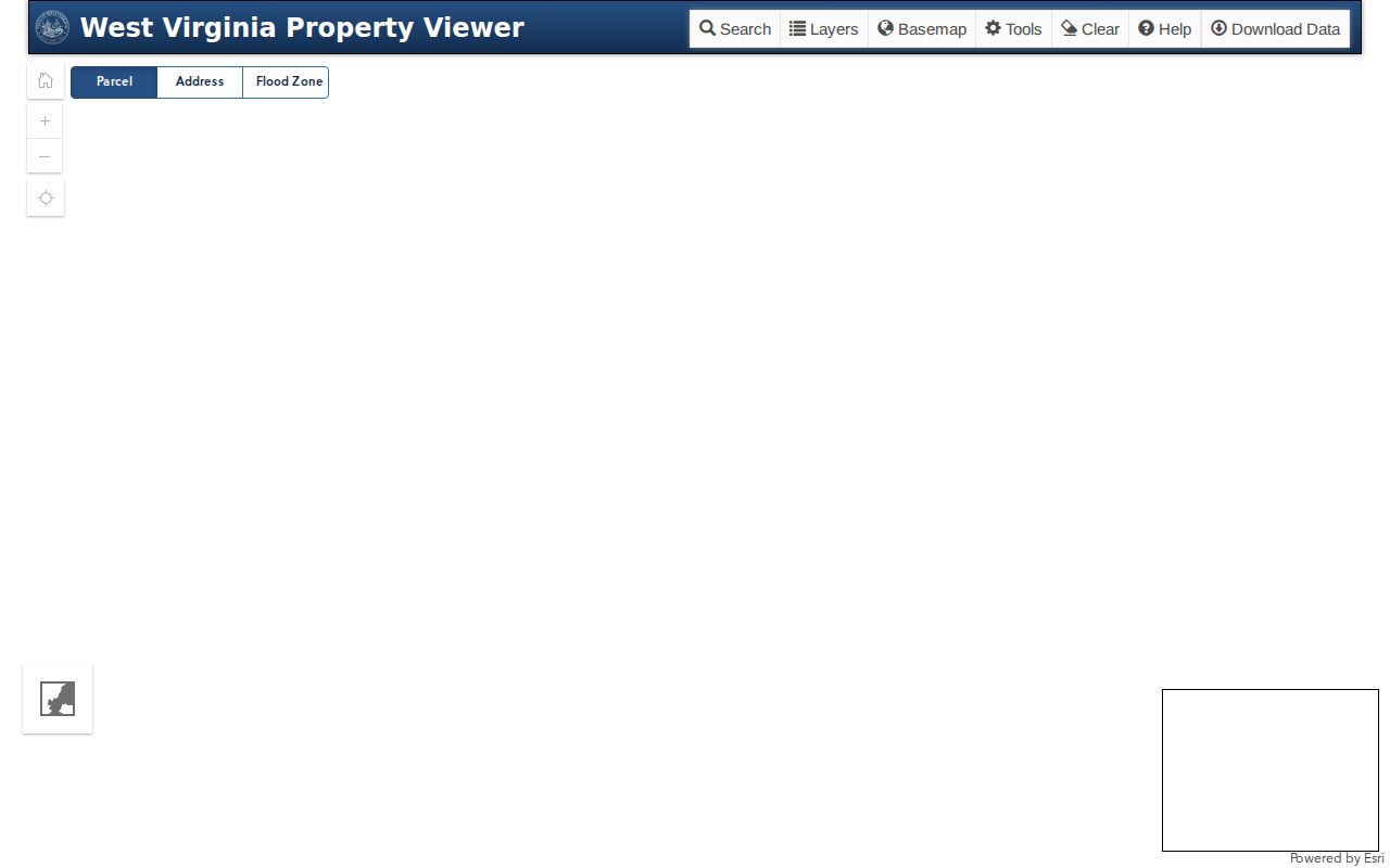
The map's owner and value fields can point you toward the right office, but they may lag a newly recorded transfer.
Grant County Map Cards Use District and Map
The Assessor's local map-card viewer offers District and Map/Parcel selectors. Its notice states that map-card copies must come from the Assessor's office. A card is a handy land-record reference when a street address is incomplete. It is still an assessment product, though. Need a printout or an exact map reference? Ask the Assessor for the current parcel card.
West Virginia's tax-map gateway serves full-version map images by county, district, and map ID. The state GIS page lists its digital files as free. Confirm the live access path before counting on any particular download. Lot lines, amendments, vacations, and subdivision layout live in the County Clerk's plat books and filings. Search those rather than the viewer alone. The Grant County map-card viewer shows its selectors and office-copy note.
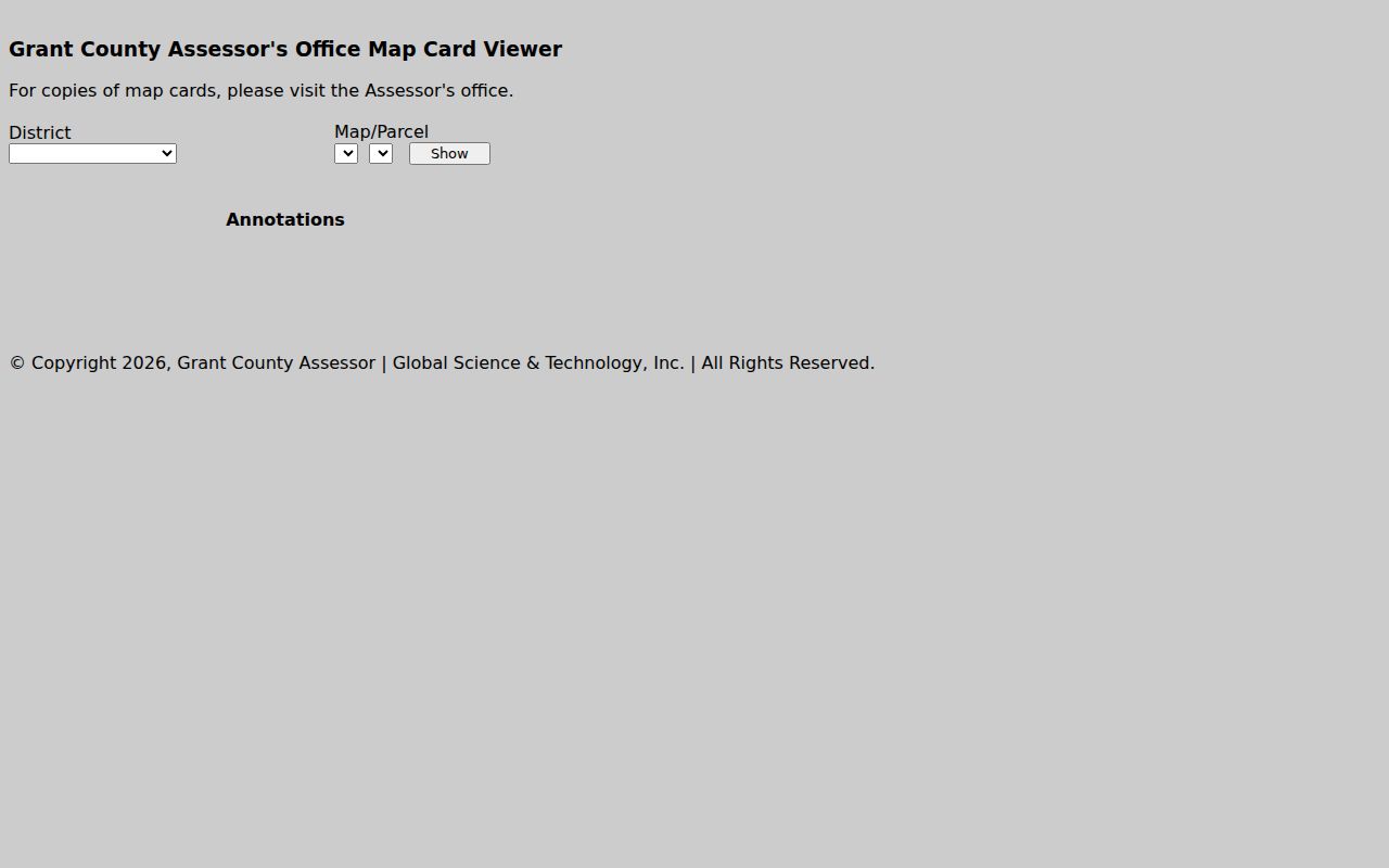
Write down the district and map before asking the Assessor for a copy. State map files are listed in the West Virginia tax-map gateway.
Grant County GIS Acres May Differ from the Deed
Deeded acreage is the figure stated in the conveyance record. Calculated acreage comes from measuring the GIS shape, so it is only an estimate. When the two conflict, West Virginia's rule gives the deeded acreage precedence. A parcel area on a screen helps you compare records. It does not amend the deed or replace a survey. The gap matters most on irregular rural tracts and older metes-and-bounds descriptions.
State property attributes update each year. Parcel geometry can lag several years where conversion from paper maps is still in progress. Lines for a July-to-June transfer period are due to the state by February 1 of the next calendar year. If a line sits unupdated after two years, the state advises contacting Grant County. Keep the recorded deed, survey or plat, and full parcel number together. Request a correction with those records in hand.
Use the parcel map to orient your search. Recorded documents govern what was actually conveyed.
Grant County Streets Connect to Recorded Plats
The 2019 County Road Name Index labels each road as City of Petersburg, City of Bayard, private, or route-based. It also pairs address ranges with district and map references. That makes it a strong bridge between a street and a parcel search. Pine Street appears in both municipalities. Use the city label, road range, and map sequence. Skip the repeated street name alone.
The index will not give a subdivision's complete plat history. Ask the County Clerk for subdivision plats, amendments, replats, vacation instruments, and right-of-way plans. The county Commission's Subdivision Ordinance and its minutes can add approval context. For a named neighborhood such as Grandview or Creitz Village, pair that phrase with the tax district and lot. Add the deed reference too.
A map view can place a parcel near a road. A recorded plat supplies the lot layout. For a surrounding-parcel workflow, use the Grant County neighbor lookup; for the address-to-record route, use the Grant County property search.
Limits of a Grant County Parcel Map
Grant County's interactive parcel layer is an assessment and planning product. Its metadata states plainly that it is not for legal description, conveyance, authoritative boundaries, or title. It is not a survey. Tax maps use best-fit geometry drawn from deeds and surveys. When GIS-calculated acreage conflicts with the deeded figure, the deed records win under West Virginia's tax-map rule. A boundary that must be placed on the ground calls for a licensed surveyor.
Not a survey. Treat a Grant County map line as a visual guide. A deed or plat and a licensed boundary survey are the right sources for a line dispute or construction decision.